| Okay, so you probably already saw this picture. It is from our first trip. I put it here to show you Medicine Bow Peak. See that peak above and to the right of Ben's head? That is where we were going. | 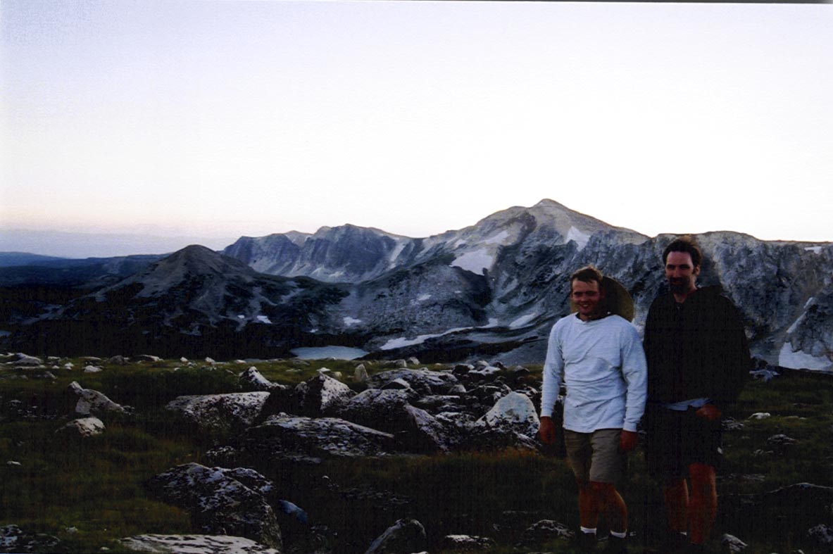
|
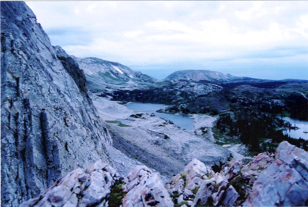 |
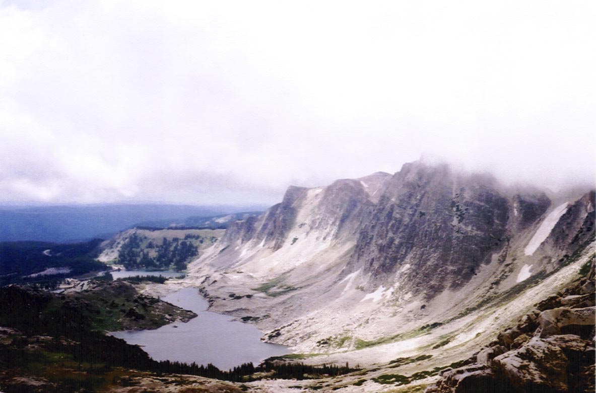
This is close to our campsite. Probably a little more than half way up the mountain. If you notice that flat mountain in the background, slightly off-center? That's where the above picture was taken. |
| And there we are in the same spot. Cold and wet but also very happy with the view. | 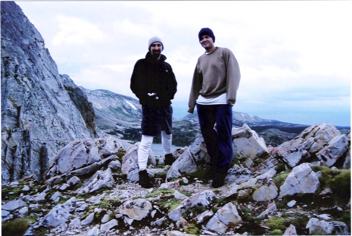 |
 |
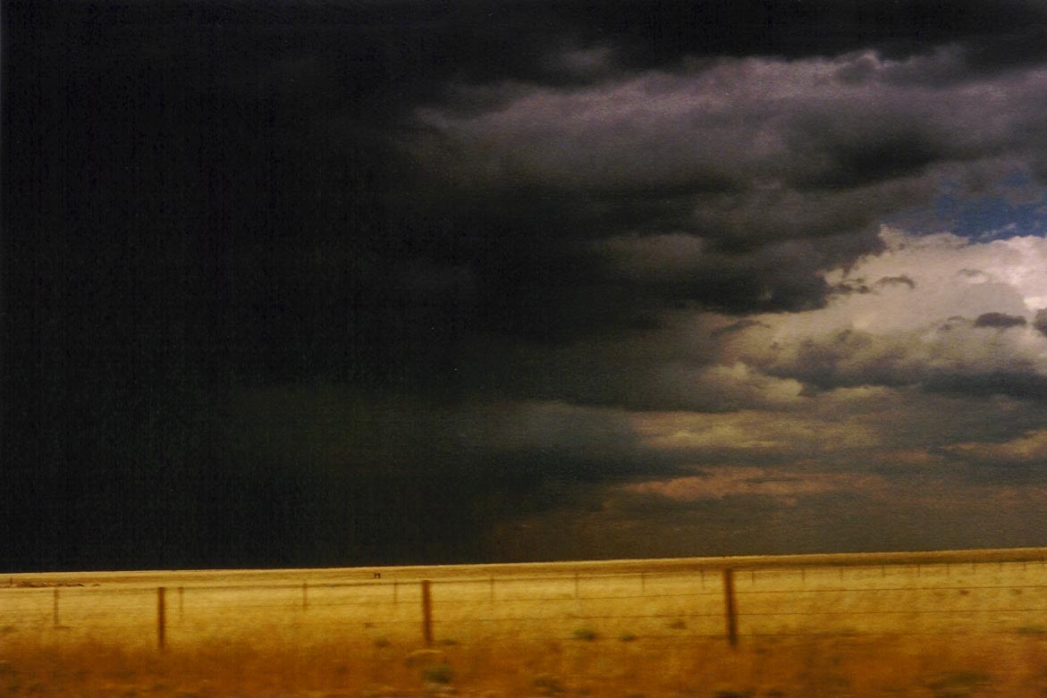
Unfortunately, our view at the top was somewhat obscured by the clouds we were in. Here is a picture on the way down that captures the height of the cloud level. |
| More wild creatures were to be found on the way down. Not to mention a pretty sweet view of the mountain lakes. | 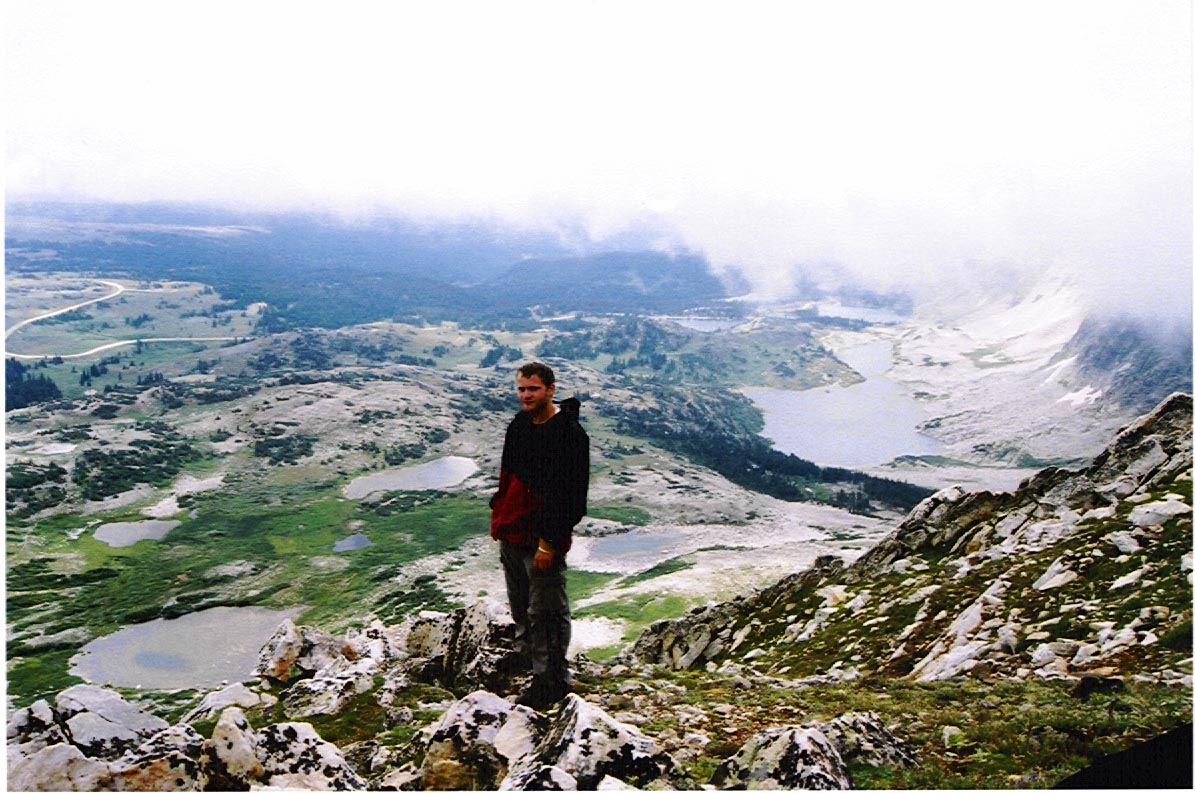 |